Nibletts Bluff Park - Vinton
Perched atop a bluff overlooking the scenic Sabine River, Nibletts Bluff Park sits on the site of a former Civil War-era fort. The history is hardly surprising given the bluff’s strategic location at the point which defines the border between Louisiana and Texas — and at one time, between the United States and Mexico.
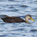
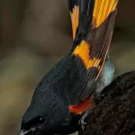
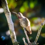
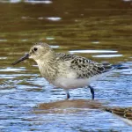
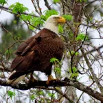
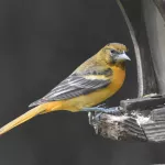
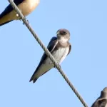
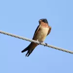
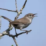
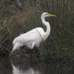
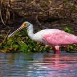
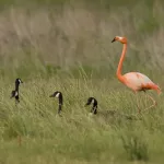
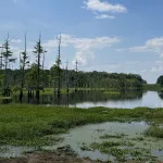
Several scenic overlooks along the east bank of the Sabine River are good places to look for birds. Almost 100 bird species have been recorded here, including most of southern Louisiana’s year-round woodland bird species. A modest collection of ducks and shorebirds have been recorded during spring migration. Wading bird action is excellent here, especially between March and September, with numerous sightings of herons, egrets, and ibises.
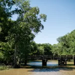
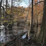
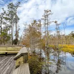
The park is outfitted with two boat ramps. Near the northern ramp, tree life includes mature Loblolly pine, sweetgum, and small live oaks. The narrow bottomland hardwood strip along the river is populated with bald cypresses and overcup oaks. Cutgrass and savanna panic grass comprise the understory. The boat ramp at the southern end possesses a dock about 50 yards long. The view of the river here is panoramic, including a beautiful cypress swamp across the Sabine River to the west.
The park has several mini-cabins for rent, RV sites, outdoor pavilions, a playground, and a boat launch.