West Bay Wildlife Management Area
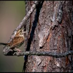
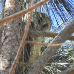
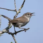
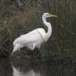
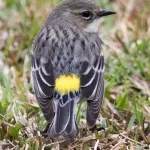
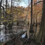
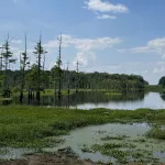
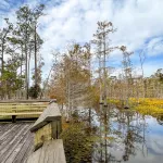
At just under 60,000 acres, West Bay Wildlife Management Area is unique because nearly one-third of the site consists of low, wet, sandy-acid “baygall” swamp habitat. The WMA is named for the red bay trees (Persea borbonia), which are almost always found upslope of the wettest areas of this habitat. Other common trees include gallberry and American hollies, sweet bay magnolia, wild azalea, and numerous fern species. These attract various bird species, including Red-bellied and Hairy Woodpeckers, Hermit Thrush, and various vireos and warblers.
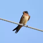
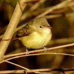
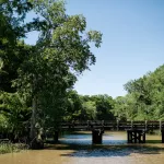
The rest of the site is in commercial pine plantation timber production, although natural mixed pine-hardwood forest habitat is still found along the edges of the baygalls and streams – especially along Mill Creek, the site's primary north-south waterway. Hardwood trees such as swamp chestnut, white, willow, and water oaks, black gum, American beech, sweetgum, and hickory provide for an excellent bird habitat throughout the growing season. These sites are the best places to look for woodpecker, vireo, thrush, and warbler species.
This isolated locale is utilized primarily by hunters. Though densely forested, navigation is fairly easy at West Bay as creeks, timber roads, pipeline rights-of-ways, and ATV trails crisscross the entire site. It is accessible via eight self-clearing permit stations positioned around the perimeter. Two primitive campsites are maintained, one located off Parish Road 112 in the northwestern corner and the other along the eastern edge off of South River Road.