Indian Bayou National Recreation Area
To get to the wildlife management area, take Highway 190 off of Interstate 49. Continue on Highway 190 traveling east toward Baton Rouge until you get to Highway 105. Travel south for 11.5 miles to the ranger station, the fifth parking area on the right.
Indian Bayou is a 28,500-acre wetland complex owned by the U.S. Army Corps of Engineers. It is located along the west bank of the Atchafalaya River and receives periodic backwater flooding through the Courtableau water-control structure. This area encompasses cypress-tupelo swamps, bottomland hardwoods, and restored agricultural areas. Water features include Bayou Fordouche, Bayou Fusilier, and the northern flats of Henderson Lake and Lake Bigeaux.
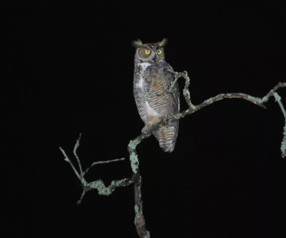
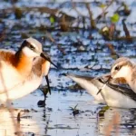
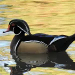
Waterbirds are plentiful here and include waterfowl, Anhinga, Double-crested and Neotropic Cormorants, and at least 10 species of wading birds. Raptors are always active throughout the complex and may include Osprey and a variety of Kites and Hawks, depending on the season. Eastern Screech and Great-horned Owls are common, and Barred Owls are abundant.
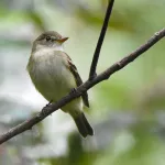
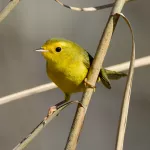
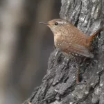
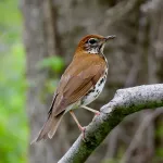
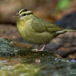
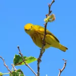
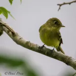
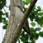
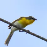
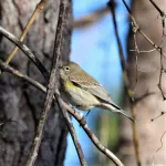
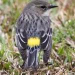
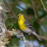
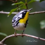
Songbird activity is always high, with seasonal appearances by numerous flycatchers, vireos, thrushes, sparrows, and buntings. Both Indigo and Painted Buntings nest here. Additional breeding species include Acadian and Great-crested Flycatchers, White-eyed, Yellow-throated, Red-eyed Vireos, Wood Thrush, Summer Tanager, Northern Cardinal, and Yellow-breasted Chat, along with several warblers.
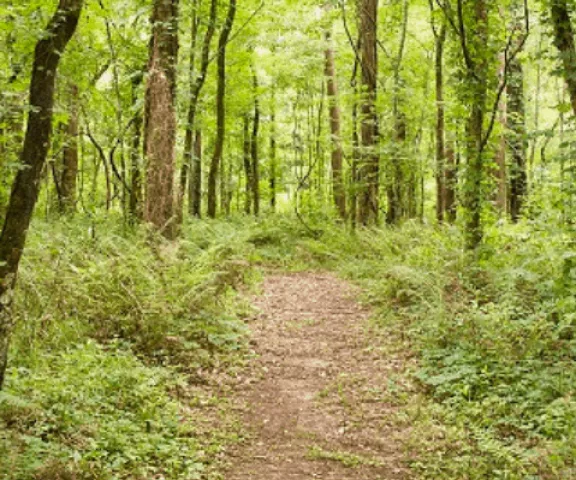
Indian Bayou is open to the public for fishing, hunting, birding, hiking, horseback riding, picnicking, and paddling. It offers 35 miles of hiking, biking, and horseback riding and eight miles of all-terrain vehicle trails. Amenities include restrooms, parking, directional/interpretive/identification signage, picnic tables, and trails.
Several designated parking/picnicking areas exist along the length of this site, each usually featuring at least one trailhead. All trails offer good birding. Birding can also be done by vehicle, driving the north-south length of the site, with the Atchafalaya River in view to the immediate east.
