Driskill Mountain holds the distinction as the highest point of elevation in Louisiana, at all of 535 feet above sea level. Although remote, Driskill Mountain is a popular field trip destination for birding and botany groups around the state. The 1.8-mile round-trip trail can be completed in about an hour. It’s generally easy walking, but it does get steep up towards the summit.
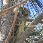
The trail begins in a mixed pine-hardwood forest, dotted along the edges with thickets of dewberry, blackberry, muscadine vines and grasses. As the trail climbs, the plant community grades into American hornbeam, white oak, American beautyberry, wild blueberries, and red buckeye.
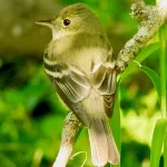
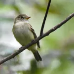
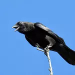
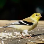
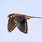
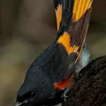
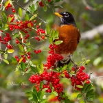
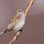
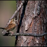
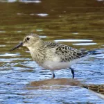
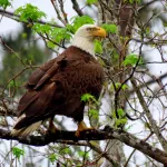
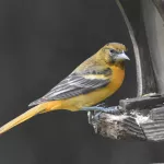
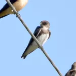
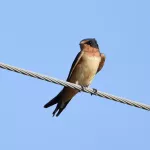
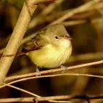
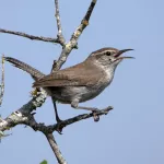
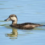
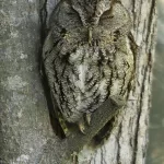
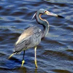
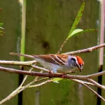
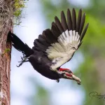
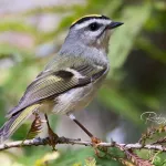
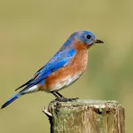
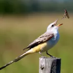
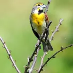
Expected forest and thicket-dwelling birds include Red-bellied, Downy, Hairy, and Pileated Woodpeckers, Northern Flicker, White-eyed, Blue-headed, and Red-eyed Vireos, Carolina Chickadee, Tufted Titmouse, Brown Thrasher, Ruby-crowned and Golden-crowned Kinglets, Northern Cardinal, and Black and White, Pine, and Yellow-rumped Warblers. A powerline right-of-way near the trail is the place to look for Eastern Bluebird and Indigo Bunting, along with other open-perch species such as Red-tailed Hawk and Scissor-tail Flycatcher.
Driskill Mountain is located in the forests of Bienville Parish, between Shreveport and the towns of Grambling and Ruston. To get there, drive down the little-traveled highways south of I-20, heading through the parish seat of Arcadia to tiny Mount Zion Presbyterian Church. Dogs are welcomed and may be off-leash in some areas. There are no restrooms here, and the site is not handicapped-accessible. Amenities are limited to parking and identification/directional signage.