Bayou L’Ourse Branch Library Nature Trail
Located at the eastern threshold of Louisiana's vast Atchafalaya Basin, Bayou L'Ourse is a very special off-the-beaten-path community of around 2,000 souls, situated just east of Lake Palourde in Assumption parish. It is a serenely beautiful place, where the culture is still assuredly "real."
The eastern portion of Assumption parish is primarily comprised of sugar cane farms, whereas the western part of the parish, where Bayou L'Ourse is located, is a truly wild maze of bayous and cypress-tupelo swamps, providing a livelihood for French fishermen and trappers for the past 250 years. Due to its isolation, a unique culture has developed and continues to thrive. Today, many descendants of the original settlers and Native American residents continue to speak French and maintain many of the customs and traditions of their French and Native ancestors.
The Nature Trail at Bayou L'Ourse's Assumption Parish Library Branch is a very peaceful and safe place to sample this region. It is hard-surfaced and 0.5 miles in length. The trail is limited to foot traffic only. Parking is easy and convenient at the library.
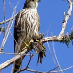
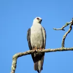
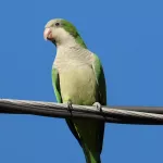
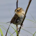
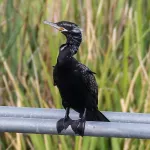
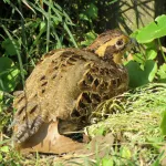
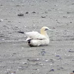
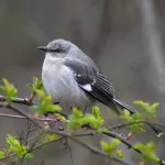
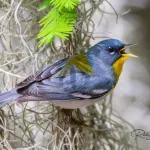
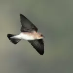
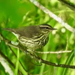
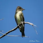
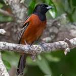
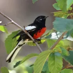
This hidden gem is a waterbird lover's dream. Common wading birds and allies include Anhinga, Great Blue, Little Blue, and Green Herons, Great, Snowy, and Cattle Egrets, and Yellow-crowned Night-Heron. Raptors are also plentiful and include Mississippi Kite, Bald Eagle, Cooper's, Red-shouldered, Broad-winged, and Red-tailed Hawks, and Barred Owl.